| Shipwrecks UK Already delivering unique and powerful functionality in its standalone version, Shipwrecks UK has developed substantially since plans were announced at the 2005 International Shipwreck Conference and as covered by Kendall McDonald in the May 2005 edition of his "Q&A:Wrecks" in Diver Magazine and the associated Divernet website. | |
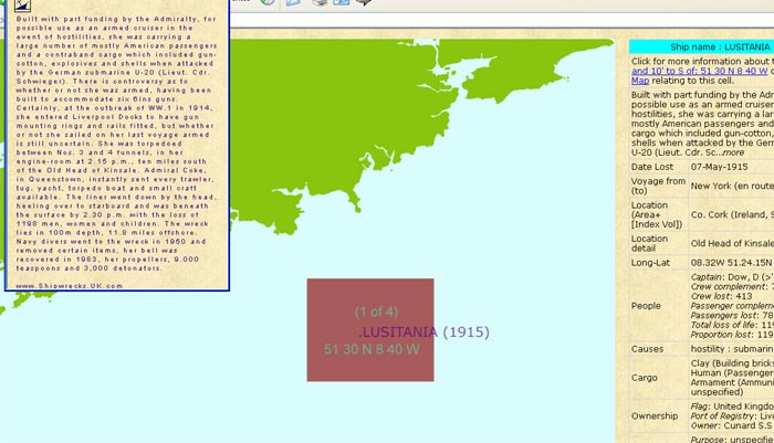
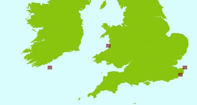 | Example 1a is a search by ship name, in this case `Lusitania`; this part of the screenshot shows 4 wrecks of ships of that name. Clicking on the left-most cell off the Old Head of Kinsale zooms in on the detail view (example 1b, below), enabling mouseover highlighting of further information. |
 | |
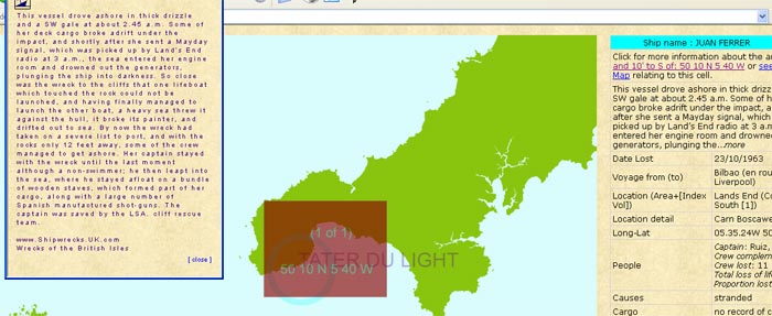
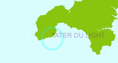 | Example 2a is a search initially by geographical feature or place name: in this case the Tater Du light. Clicking on the resulting name(s) shown around the coasts of the British Isles provides a zoom-in capability, from where searches against all available criteria can be undertaken. In the follow-up example below (2b), the Juan Ferrer has been located. Its ship name in this instance is `one of one` around the British Isles. Mouseover highlights the name, a click resultsin comprehensive information, from where additional information is available. |
 | |
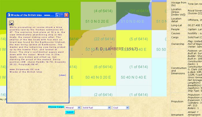
Example 3 (below) shows a small section of results from a user selection of ships carrying a cargo of coal. Each 20 mins longitude by 10 mins latitude cell is colour-coded according to the wreck numbers within that cell. A key is dynamically generated and reflects useful intervals based on the size of the data set. Clicking on the cell id loads the precise positions of wrecks within the cell, and provision is made for confidence factors associated with the wreck position. Mousing-over these positions highlights the wreck names; click then shows comprehensive information, in this case about the F. D. Lambert. | |
 | |
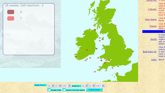
Example 4, below, shows a section of a screen displaying wrecks that occurred in the first ten days of October 1917. Zoom-in and access to detailed displays can then follow as above. | |
 | |